
 Uncategorized
A Belize jungle can change character within a few steps. A clear limestone trail may slip under leaf litter, a familiar ridge can disappear behind broadleaf forest, and a short rain shower can turn a dry creek bed into the feature that shapes your route. This guide to jungle navigation basics is not about turning a vacation into a survival test. It is about understanding why an experienced local guide moves with purpose, reads the landscape carefully, and knows when the safest choice is to slow down or turn back.
For visitors, good navigation creates freedom. You can pay attention to bird calls, towering ceiba trees, Maya history, and the cool air near a cave entrance because someone is managing the details that matter. In Belize’s inland forests, that local knowledge is part of the experience, not an extra.
Start With a Route, Not a Direction
The first rule of jungle travel is simple: know where you are going before entering the forest. A compass direction alone is not a route. Dense canopy limits visibility, trails can fork around fallen trees, and the most direct line across a map may cross steep ground, sinkholes, seasonal drainage, or private land.
Before a guided hike, a capable guide considers the start point, destination, estimated travel time, elevation, weather, water sources, trail conditions, and reliable exit routes. In places near St. Herman’s Blue Hole National Park, terrain can shift quickly between open paths, limestone formations, shaded forest, and cave-country features. A route that feels easy in dry conditions may require a different approach after heavy rain.
For travelers, the practical habit is to ask what the route involves and follow the agreed plan. Tell your guide if you have an injury, concerns about footing, or a pace that feels uncomfortable. Private tours make it easier to adjust the day around the group, but clear communication still matters.
Read the Ground Before You Read a Map
Maps, GPS devices, and compasses are useful tools, yet the jungle itself provides the information that determines your next safe step. Local guides look for evidence that is easy to miss when you are focused on the view: fresh tracks on soft soil, broken vegetation, washed-out trail edges, ant activity, recent branches on the ground, and changes in the sound of moving water.
In Belize, limestone terrain deserves particular attention. Rock can be slick after rain, leaf cover can hide uneven holes, and slopes may lead toward depressions or cave systems. Good navigation is not always about moving quickly toward a landmark. It is often about choosing stable footing, keeping the group together, and avoiding terrain that offers little benefit for extra risk.
Water is another strong clue. Streams and drainage channels can help establish where you are within a landscape, but they should never be treated casually. Rain falling farther uphill can raise water levels quickly. If a creek is moving faster, looks muddy, or is carrying fresh debris, the right call may be to wait, change direction, or leave the area.
Guide to Jungle Navigation Basics: Use Landmarks That Last
A single twisted tree or a bright flower may stand out on the way in, then become nearly impossible to find on the way back. Jungle navigation relies on landmarks, but the best landmarks are large, distinctive, and less likely to change with weather or time.
A guide may use the shape of a ridge, a limestone outcrop, a river bend, a junction, or the position of a known cave entrance. These features make better reference points than temporary trail marks. They also help build a mental picture of the route: where the group started, which side of a slope it is on, and what major feature should appear next.
This is one reason it is wise not to range ahead for a photo or wander off trail to inspect wildlife. A few minutes of separation can be enough to lose the visual and sound cues that keep a group oriented. Stay within sight or easy calling distance of your guide, especially where vegetation is thick.
Technology Helps, but It Does Not Replace Experience
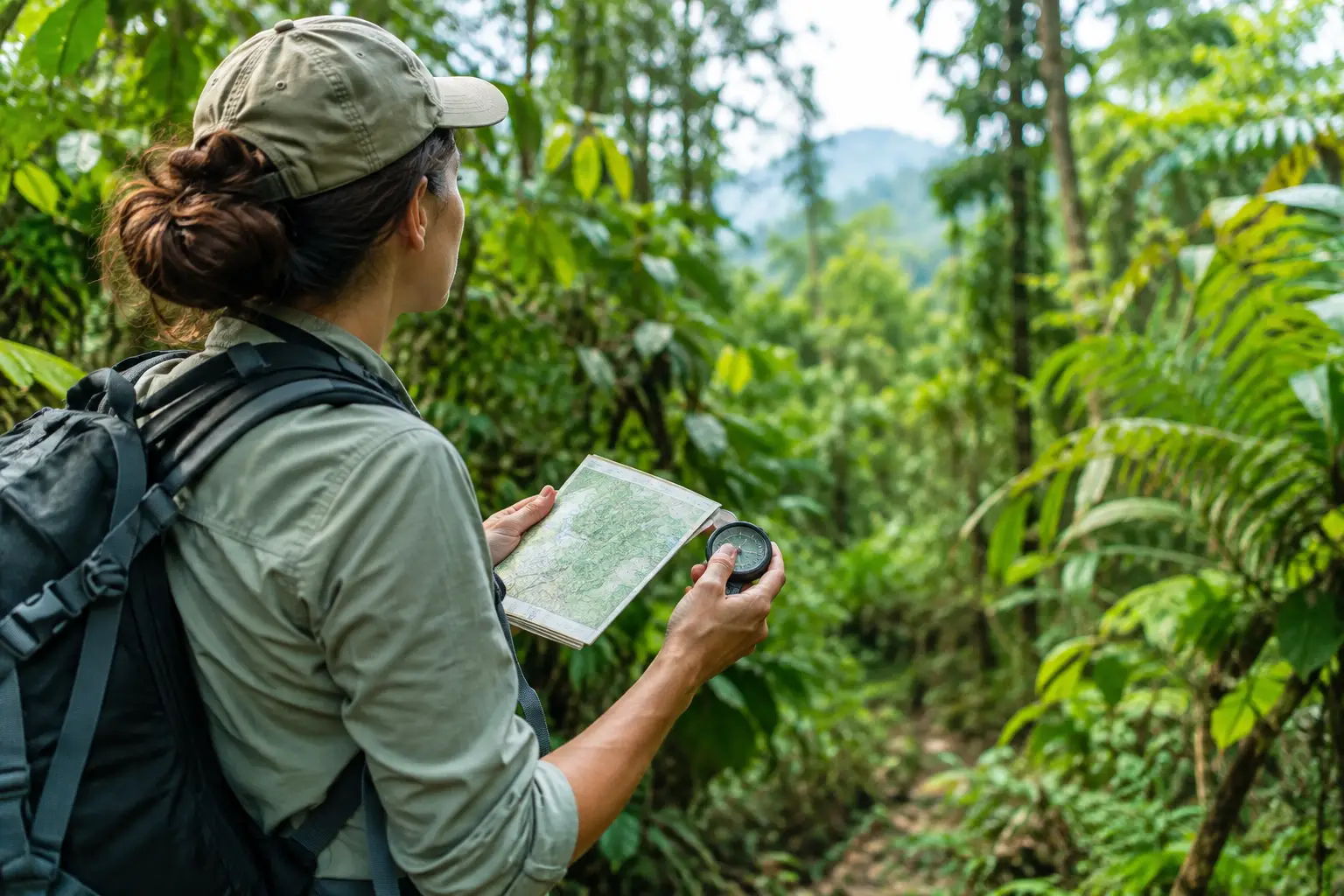
A phone with offline maps, a GPS unit, and a compass can all be useful backups. They can record a track, confirm coordinates, or support a decision when the route is unclear. But electronics bring limits in tropical conditions. Batteries drain, screens become hard to use in rain, maps may lack smaller paths, and GPS position can be less precise under heavy canopy.
A compass remains valuable because it does not depend on a signal. Still, knowing north is only helpful when you understand the terrain between your current position and your destination. Walking straight north through dense forest can lead a group into difficult ground while a safe route may curve around it.
For independent travelers, carrying tools is sensible, but relying on an unfamiliar device is not the same as being prepared. The strongest approach combines route planning, terrain awareness, navigation tools, weather judgment, and local knowledge. On a guided excursion, your guide should carry the primary navigation plan while the group remains aware of the basics.
Keep the Group Safe and Easy to Find
Jungle navigation is also group management. The pace should suit the least confident walker, not the fastest person on the trail. A guide typically keeps visual contact with everyone, checks that the group has enough water, and pauses before turns or more technical sections rather than allowing people to spread out.
Four simple habits make a meaningful difference:
- Wear closed-toe shoes with grip and clothing suited for heat, insects, and light rain.
- Carry water, a rain layer, and any personal medication in a small secure pack.
- Let your guide know before stepping away, even briefly.
- Keep your phone protected and preserve battery for photos and emergencies rather than constant use.
These are not dramatic preparations. They are the quiet choices that keep an inland adventure comfortable. They also reduce the chance that a small inconvenience becomes a larger problem after weather changes or daylight begins to fade.
Respect Weather, Light, and Time
In the rainforest, timing is navigation. Morning may offer cooler temperatures and active birdlife, while afternoon can bring stronger heat or rain. A guide watches the sky, listens for distant thunder, and considers how much daylight remains before committing to a longer section of trail.
Do not assume a short distance equals a short journey. Wet roots, steep limestone, photography stops, wildlife sightings, and a slower group pace all add time. The goal is not to complete every possible mile. The goal is to travel well, return comfortably, and leave with a stronger connection to the landscape.
There is also a cultural side to moving carefully through Belize’s interior. Forest paths can lead near areas shaped by Maya history, local livelihoods, and protected habitats. Staying on the intended route protects fragile ground and respects the people and places connected to it. A good guide shares that context, turning a walk into something more meaningful than simply getting from point A to point B.
When Guided Knowledge Makes the Difference
There is a place for self-guided walks on well-marked, familiar trails. It depends on the location, conditions, your experience, and the quality of available information. But remote jungle routes, cave approaches, off-trail exploration, and changing weather call for more than confidence.
Experienced Belize guides recognize the details that visitors have no reason to know yet: which path becomes muddy after rain, where a creek crossing is normally safe, what wildlife signs deserve space, and which natural features can guide a route without damaging the environment. At Belize Inland Tours, private groups benefit from that attention without being rushed along a crowded itinerary.
The best jungle memory is rarely about proving how far you went. It is the moment you notice the forest becoming quieter near a cave, spot movement high in the canopy, or understand why a guide has chosen one path over another. Stay curious, stay close, and let the landscape reveal itself at a pace that keeps everyone safe.
